Idaho Pocket Maps: Your Ultimate Travel Companion
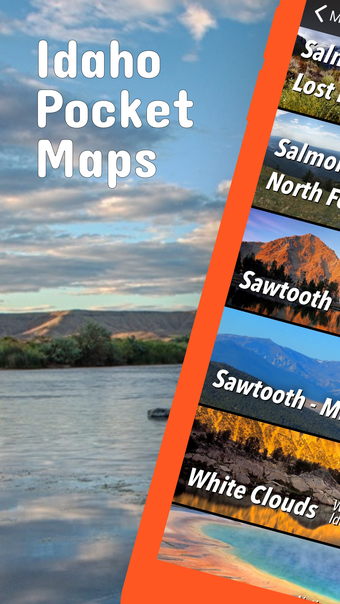
Idaho Pocket Maps is a free travel and navigation app developed by Alex Gugel. It is available exclusively for iPhone users. Whether you're planning a trip to one of Idaho's stunning national parks, state parks, forests, or monuments, this app has got you covered. With over 190 neatly folded maps provided by various agencies like the National Park Service and the Bureau of Land Management, you can easily navigate through Idaho's wilderness.
The app offers a plethora of features to enhance your outdoor experience. You can download maps, park brochures, and newspapers to access them offline, even in areas with no Wi-Fi. Additionally, you can download specific map sections as offline packs for convenience. The app also includes photo galleries and panorama views, allowing you to immerse yourself in the beauty of Idaho's landscapes.
Idaho Pocket Maps provides GPS and GPX support, enabling you to record your hikes and import GPX routes, tracks, and waypoints for your hiking trails. It offers detailed information about national parks, including alerts, news, visitor centers, campgrounds, driving directions, and weather conditions. You can easily access multi-day forecasts, sunrise and sunset times, and even receive push notifications for park alerts, park news, and weather warnings.
To access the full range of features, you can opt for a subscription plan. The FULL ACCESS subscription costs $3.49 for three months, $2.49 for two months, or $7.49 for a year. Please note that continued use of GPS running in the background may significantly decrease battery life.
With Idaho Pocket Maps, you can plan your next adventure with confidence, knowing that you have all the necessary maps, guides, and information at your fingertips. Download this app now and embark on a memorable journey through Idaho's breathtaking landscapes.